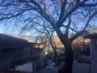
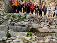
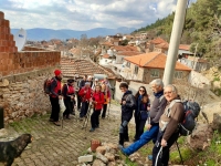
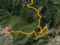
İdadik Kulüp programında A Yürüyüşü olarak duyurulan etkinlikte Cumalı Köyü çıkışında patikadan başladık yürüyüşe, Karaot Köyü’ne de patikadan girdik! Neredeyse etkinliğin tamamında orman içinden, ağaçların arasından devam ettik. Çevremizdeki Mahmut Dağı, Nif manzaralarını hep ağaçların arasından izledik, Akkaya Tepesi’de kavuştuk gökyüzüne!
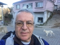
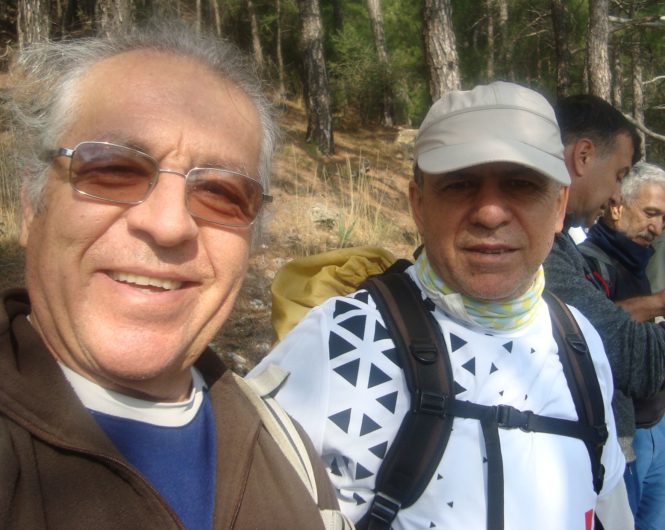
Son zamanlarda böyle güzel bir parkurda yürümemiştim. Etkinliğin sonlarına doğru rehberimiz Faruk Demirbaş’a da bunu ifade ettim zaten. Birlikte bir hatıra fotoğrafı çektim. Zaten biraz da yıllar önce yönetimde iken dayanışma içinde olduğumuz kadim Rehberimiz ile beraber olmak için bu programı seçmiştim.
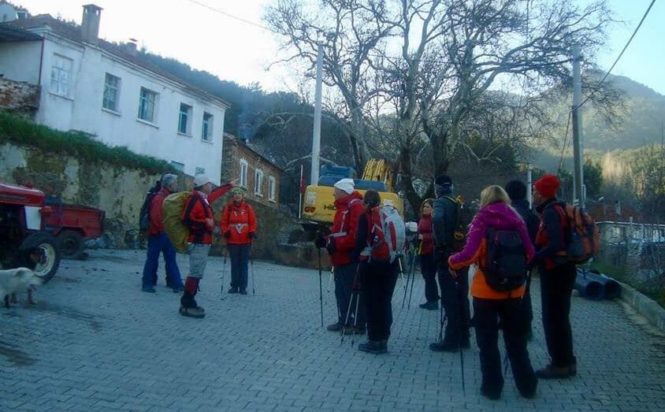
Cumalı Köyü’ndeki oldukça uzun süren bir kahvaltı faslından sonra, Saat 10 gibi B Grubunun arkasından biz de yürüyüşe başladık. Köyün taşlı evleri bitmeden bir açıklıkta rehberimiz etkinlik hakkında kısa bir bilgi verdi. Tam burada biri beyaz iki köpek bize katıldılar. Karşılaşabileceğimiz sürü köpeklerinden veya varacağımız köyün köpeklerinden zarar görebileceklerini düşünüp endişe duyarak onları geri döndürmeye ikna edemeyince, bizimle yürümelerini kabul etmek zorunda kaldık. İlginçtir, süt beyazı renginde olanı hep ön taraftakilerle giderken, kesik kuyruklu kahverengi olanı hep geride kalmayı tercih etti. Bize sürü muamelesi yaptılar ve önden arkadan güvenliğimizi hep kontrol ettiler sanki!
Dediğim gibi Fikret bizi çok güzel bir rotada yürüttü. Yüzündeki ciddi ifadeden dolayı sert görünüşünün yanında, son derece nazik ve yumuşak karekterli arkadaşımız rehberimiz, grubun neredeyse sesi en az çıkanıydı; komutları bir defa ve yumuşak bir ifadeyle aktardı. Bu nedenle olacak, genelde yüksek sesle fazla konuşulmayan ve böylece doğayı bol bol dinleme imkanı bulduğumuz güzel bir ortam oldu etkinlik boyunca.
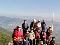
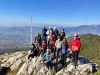
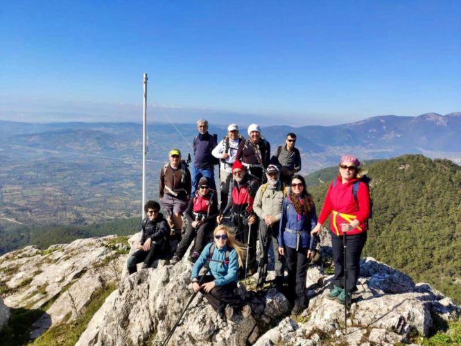
Çoğunlukla orman içinden yürüdüğümüzden, patikalardaki çam kürleri, yürümek için çok elverişli zeminler oluşturmuş. Geçtiğimiz bazı açıklıklarda bol miktarda beyaz çiğdemler gördük. Zirveye doğru bazı kayalıklardan geçtik. En yukardaki bayrak direği etrafında bir arkadaşımız Akkaya Zirvesi hatıra fotoğrafı çekti.
Bayrak direği bulunan tepeden sonra adeta bir U çizerek geri döndük ve yakındaki diğer tepeye tırmandık. Bu İkinci Tepe, kütlenin en yükseği olduğuna göre belki de Akkaya zirvesi olarak burayı ifade etmek daha uygun olacaktır diye düşündüm.
Zirvelerden sonra oldukça dik noktalardan inişe geçtik. Birkaç dik iniş yaptıktan sonra rüzgâr almayan çok uygun bir açıklıkta öğle molası verdik. Burada beyaz köpek büyük bir yüzsüzlükle mola sonuna kadar herkezden defalarca yiyecek talep etti. Kahverengi olanı ise bir kenara oturup kendisine bir şeyler atılmasını bekledi ve beyaz olanın yaptıklarını hiç taklit etmedi. Köpeklerin bu çok belirgin karekter farkı ilgimizi çekti.
Moladan sonra gene güzel patikalardan yürüdük, ağaçlı bölgelerden geçtik ve çevremizdeki yeşil tepeleri vadileri seyrederek etkinliği Saat 15:45’de Karaot köyünde bitirdik. Wikiloc sonuçlarına göre yaklaşık 550 metre kadar yükselip, toplamda 8,5 km yürümüş gözüküyoruz ki tamamı çıkış ve iniş olan bu rotada A artı bir etkinlik olduğunu düşünüyorum.
Bu etkinlikte çektiğim fotoğraflardan ve arkadaşlarımın medyada paylaşılan fotoğraflarından seçtiklerimle hazırladığım albümü aşağıdaki linkten izleyebilirsiniz.
Not: Aşağıdaki fotoğrafları herhangi birine tıklayıp, açılan penceredeki veya klavyeniz üzerindeki ok işaretleri yönünde izleyebilirsiniz.
İDADİK AKKAYA HILL EVENT, FROM CUMALI TO KARAOT – Feb.2, 2020
In this event, announced as Group A Walk in the İdadik Club Program, we enter a path at Cumalı Village Exit and at the end of the event, we enter Karaot Village with a path! We continued our way in the forest, among the trees, in almost the whole event. We always watched the views of Mahmut Mountain and Nif around us through the trees, and we reached the sky on Akkaya Hill!
I haven’t walked on such a beautiful route lately. I expressed this to our guide Faruk Demirbaş towards the end of the event. I took a memoir photo together. I chose this program to get together with our ancient guide because years ago we were in solidarity in the administration.
After a long breakfast in Cumalı Village, we started walking behind Group B around 10 o’clock. In an open area, before finishing the stone houses, our guide gave a brief information about the event. At this point, two dogs, one of which was white, joined us. Worried about to damage to them by herd dogs, and the dogs in our target village, we failed to persuade them to return, and we had to agree to walk together. The interesting, milky-white dog always went with the walkers in front, the one with the tail cut off always preferred to stay in the rear. It’s as if they consider us as a herd and control our safety from the front and the back.
Like I said, Fikret walked us on a very good route. Besides his tough look due to his solemn expression, our very gentle guide friend was almost the quietest person in the group. He explained his instructions only once and with a kind expression. Probably because of this, it was a nice setting where we could find many opportunities to listen to nature during the event.
Since we mostly walked in the forest, pine needles had formed a very convenient ground for walking. We saw a lot of white crocus in some open spaces we passed. We passed some rocks towards the summit. At the top, a friend of ours took a memoir photo of the Akkaya Summit around the flagpole. We turned from this flagpole hill, drawing like a U, and climbed another hill next to it. Since this second hill is the highest of the mass, I thought it would be more appropriate to declare this summit as the summit of Akkaya.
After the summits, we started to descend from quite steep points. After a few steep descents, we had a lunch break in a suitable windless place. Here the white dog demanded food from everyone over and over again until the end of the break with great shameless. The brown one sat down and waited for someone to throw something and never imitated what the white one did. This difference of dog characters caught our attention.
After the break, we walked again on the beautiful paths, passed through the wooded areas and watched the green hills around, we completed the event at 15:45 in Karaot Village. According to Wikiloc records, it seems like we walked a total of 8.5 km, and I think, rising about 550 meters, this route is an A+ Walk that is completely up and down.
You can watch the album I prepared from the photos I took at this event and the photos shared by my friends in the media from the link below.
Note: To watch the photos below, you can click on any of them and watch them in the direction of the arrow in the pop-up window or by using the arrow signs on your keyboard.

